
← Back
Tracking locomotives beyond cellular coverage with satellite connectivity
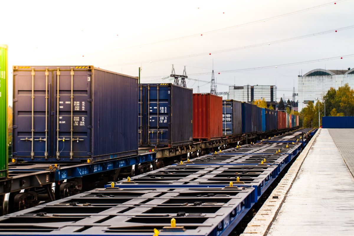
Rail networks extend far beyond the reach of mobile networks. Across remote railway lines, cross-border corridors and cellular blackspots, operators can lose visibility over their locomotive fleets precisely when continuous tracking matters most.
In Southern Africa, satellite connectivity offers a way to address these coverage gaps. CLS Southern Africa is exploring satellite-based tracking for locomotive fleets by combining Iridium’s global satellite network with proven hardware from its partner Ground Control.
The objective is to maintain the transmission of positioning data beyond cellular coverage and provide operators with greater visibility over assets travelling across extensive rail networks.
How Iridium connects assets beyond terrestrial networks
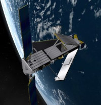 Iridium operates a constellation of 66 operational satellites in Low Earth Orbit (LEO), approximately 780 km above the Earth. Unlike geostationary satellites positioned much farther away, this architecture supports communications using smaller antennas and lower power requirements.
The satellites are interconnected to form a global mesh network, allowing data to be routed across the constellation. Iridium also uses L-band communications, designed to provide reliable connectivity for mobile assets operating in challenging environments.
For rail operations, these characteristics make satellite communication particularly relevant along remote routes and in areas where terrestrial telecommunications infrastructure is limited or unavailable.
Extending existing locomotive tracking systems
Adding satellite connectivity does not necessarily require operators to replace their existing tracking infrastructure.
The approach explored by CLS Southern Africa is to integrate satellite communications with existing GSM and cellular tracking architectures. Ground Control hardware provides the satellite connectivity component, enabling positioning data to continue being transmitted when a locomotive travels beyond terrestrial network coverage.
This hybrid approach allows operators to retain their existing systems while extending their tracking capabilities to sections of the rail network that would otherwise create gaps in visibility.
Turning positioning data into fleet visibility
 Connectivity is only one part of the tracking process. The information transmitted from locomotives also needs to be accessible and usable by operational teams.
Positioning data can be centralised within a single platform, providing operators with a consistent view of locomotives as they move across long-distance routes. Teams can follow asset locations, maintain oversight across remote areas and identify events requiring attention without relying solely on the availability of local cellular infrastructure.
For large-scale rail and industrial operations, access to this information supports day-to-day fleet management and provides greater continuity when managing critical mobile assets.
Building more resilient rail tracking
Rail operators need tracking systems that can adapt to the different connectivity conditions encountered along a route. Cellular networks remain an effective solution where coverage is available, while satellite communications can extend that connectivity into more isolated environments.
By bringing together cellular tracking, Iridium satellite connectivity and Ground Control hardware, CLS Southern Africa is exploring an architecture designed to reduce gaps in positioning data across remote and cross-border rail operations.
The result is a more resilient approach to locomotive tracking, built around the connectivity available at each stage of the journey.