← Back
GPS Spoofing: A Growing Risk for Humanitarian Vehicle Convoys
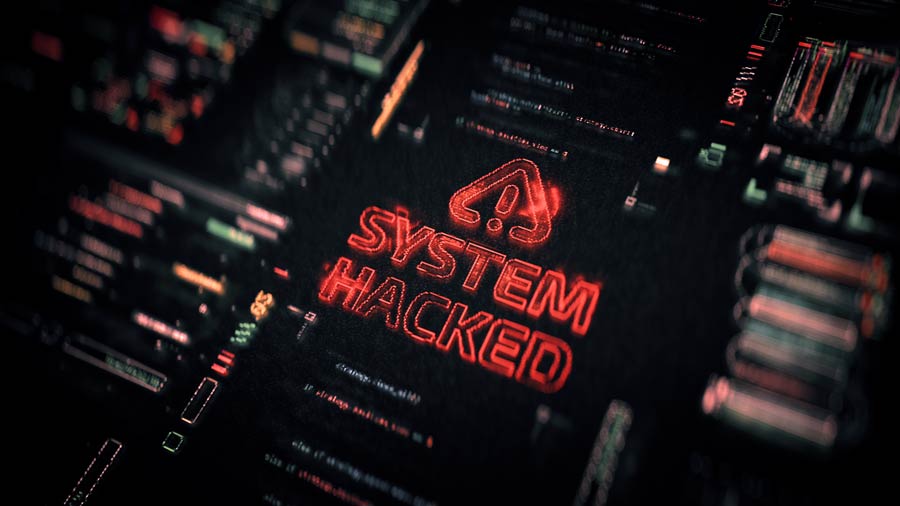
Humanitarian organizations operating vehicle convoys in high-risk regions are increasingly exposed to GPS spoofing and jamming attacks, which can distort vehicle positions, disrupt fleet coordination, and weaken operational decision-making.
Building on its extensive expertise in satellite mobility and its HUMANAV fleet tracking platform, CLS supports humanitarian actors worldwide in identifying positioning anomalies, securing convoy operations, and maintaining reliable situational awareness, even in contested environments.
Spoofing and the New Reality of Humanitarian Mobility
Satellite positioning has become a fundamental pillar of humanitarian logistics. Vehicle tracking, convoy coordination, safety monitoring, and mission reporting all rely on the integrity of GNSS data. At the same time, GPS spoofing and jamming techniques have significantly expanded, particularly in conflict zones and geopolitically sensitive regions, where electronic interference is increasingly used as a tactical tool.
By emitting false satellite signals or overwhelming receivers with interference, spoofing and jamming can mislead navigation systems without necessarily causing a complete loss of signal. Vehicles may continue transmitting position data that appears valid while being fundamentally incorrect.
For humanitarian organizations, this creates a new operational reality in which positioning data can no longer be considered inherently reliable.
Concrete Impacts on Humanitarian Vehicle Convoys
When GPS spoofing affects a humanitarian fleet, its consequences are immediately visible on fleet tracking platforms and within operational processes. Vehicles may appear stationary in locations where they are not actually present or display sudden and unrealistic position changes before returning to their real trajectory.
In some cases, multiple vehicles passing through the same area show identical inconsistencies, making it difficult to distinguish between isolated incidents and systemic disruptions.

Wildlife and Countryside in Namibia
These anomalies can also result in inconsistent data regarding speed, direction, or mileage, affecting mission reporting, performance indicators, and post-operational analysis.
Beyond data quality issues, the major risk lies in the loss of trust in fleet information, which can slow down decision-making and complicate coordination in already constrained environments.
CLS Expertise and the Role of the HUMANAV Platform
CLS has been operating for several decades at the intersection of satellite technologies, mobility tracking, and operations conducted in complex and remote environments. This long-standing experience has enabled the development of a deep understanding of GNSS system behavior, their vulnerabilities, and the operational constraints faced by humanitarian actors in the field.
In this context, HUMANAV plays a central role as CLS’s fleet tracking platform dedicated to humanitarian operations. Beyond simple vehicle tracking, HUMANAV is designed to provide a global and contextualized view of fleet activity, contributing to situational awareness in environments where positioning data may be degraded, disrupted, or inconsistent.
Building on its satellite expertise and field experience, CLS continuously analyzes GNSS-related risks and positioning anomalies observed under real operational conditions. These analyses support ongoing work aimed at strengthening data validation approaches, improving anomaly detection, and increasing the resilience of fleet tracking within the HUMANAV platform, in close alignment with humanitarian operational needs.
Strengthening Resilience Through Technology and Collaboration
As GPS spoofing becomes a structural risk rather than an occasional anomaly, resilience is now emerging as a strategic requirement for humanitarian mobility. CLS continues to progressively strengthen HUMANAV’s detection and alert mechanisms, while working closely with its humanitarian partners to refine analyses and countermeasures based on operational feedback.
By combining satellite expertise, data intelligence, and a field-oriented approach, CLS helps humanitarian organizations secure their vehicle convoys and maintain reliable situational awareness, even in the most complex environments.