Environmental and Climate Monitoring
Africa’s Natural Resources Through Data and Innovation
Addressing today’s environmental challenges requires accurate information and forward-looking solutions. At CLS Southern Africa, we transform satellite and in-situ data into actionable insights, tracking wildlife, monitoring forests and freshwater systems, and measuring the effects of climate change across Africa.
Our data-driven services help optimize land and water use, inform conservation strategies, and strengthen the region’s capacity to plan sustainably.
From urban resilience to biodiversity conservation, we support responsible environmental management that leads to long-term impact.
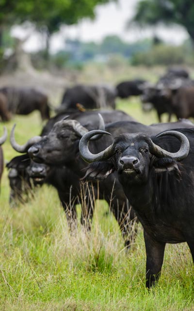
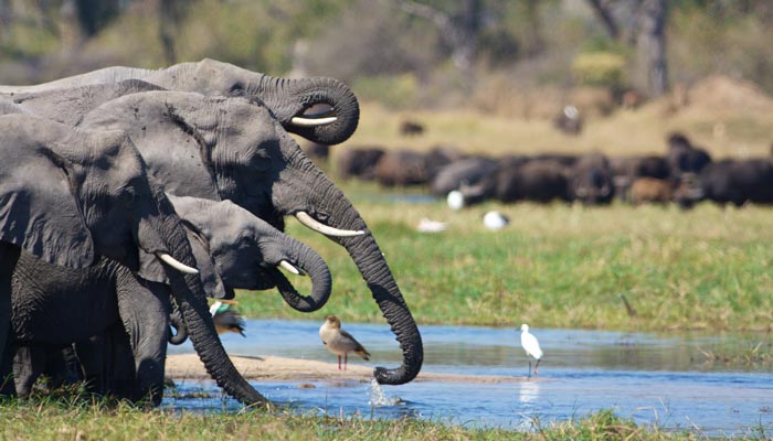
400,000+ animals tracked since the 80s
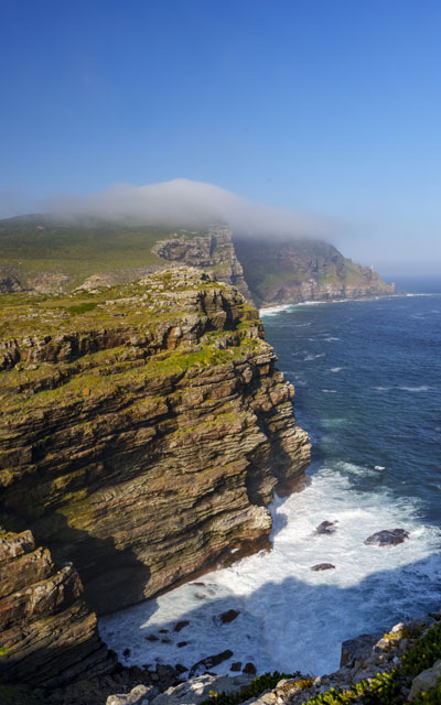
1 powerful data platform that can predict the future: the impact of climate change on your coasts
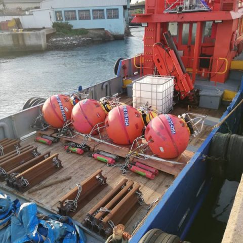
6,000+ metocean and oceanographic instruments are monitored and deployed worldwide every year
Discover our Solutions
Biodiversity Protection
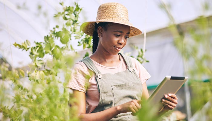
Smart
Agriculture
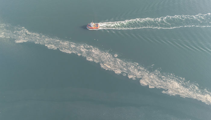
Fighting Pollution
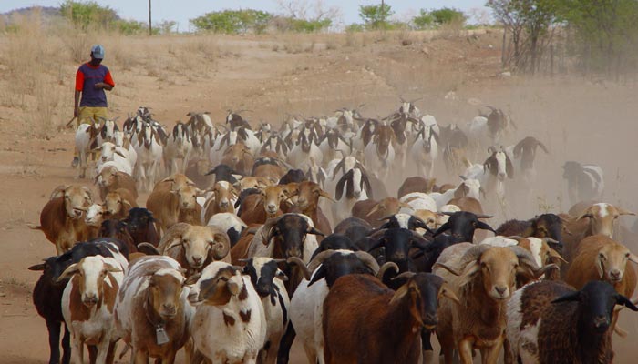
Livestock Management
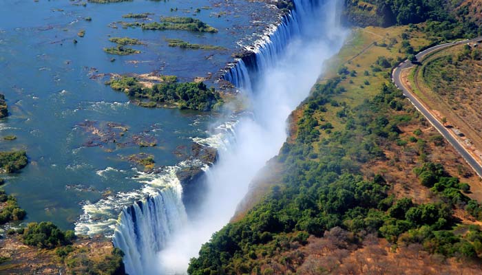
Oceanography, Meteorology, and Glaciology
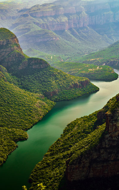
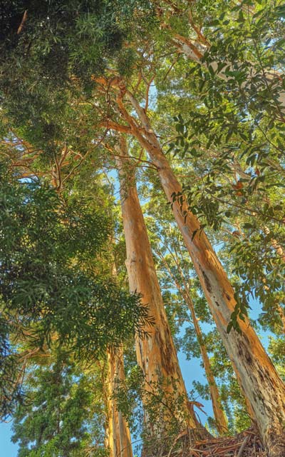
Sustainable Water and Forest Resource Management
Land Management, Air Quality, and Soil Artificialization


Latest News
Successful Launch of Sentinel-6B, a New Milestone for Satellite Altimetry
We are pleased to announce the successful launch of the Sentinel-6B satellite altimetry mission, marking a major step forward for satellite altimetry, ocean observation, and global climate...
How Our Oceanography PhD Researchers Unveil the Secrets of the Sea
Everything begins with curiosity. A question, a current, a satellite orbiting silently above the ocean. For Dr. Lisa Martinengo, that question led her to the turbulent waters of the Agulhas Bank,...
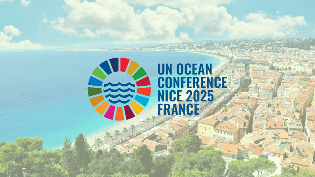
CLS at the 2025 United Nations Ocean Conference
Committed to a sustainable future for the ocean From June 4 to 13, 2025, CLS will actively participate in the United Nations Ocean Conference (UNOC), held in Nice and Monaco. Alongside official...
Monitoring the Planet,
Protecting the Future
Track environmental data with precision thanks to reliable Earth Observation data and in-situ measurements adapted to African ecosystems.