← Back
Successful Launch of Sentinel-6B, a New Milestone for Satellite Altimetry
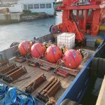
Sentinel-6B, providing high precision measurements
Sentinel-6B is designed to deliver the highest precision measurements of sea level, coastal environments, and inland water bodies. In addition, the mission’s advanced satellite altimetry technology will significantly enhance our capacity to:
- Monitor global sea level rise, coastal erosion, and ocean dynamics,
- Track lakes, rivers, and other freshwater resources with unprecedented accuracy,
- Support marine ecosystem studies and sustainable fisheries management,
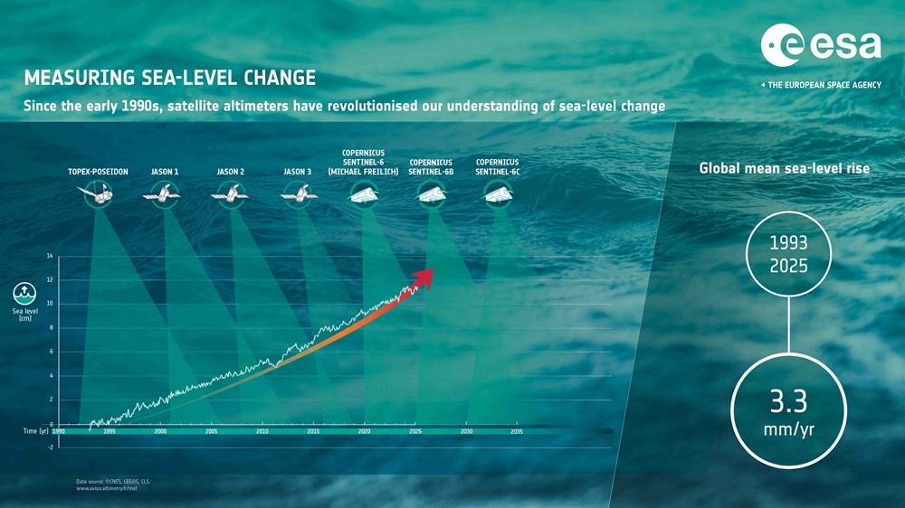
- Improve long-term climate models by extending a continuous 30-year satellite altimetry record,
- Provide essential data for scientists studying #ClimateChange and its accelerating impacts.
By providing consistent, high-resolution measurements every ten days, Sentinel-6B reinforces Europe’s commitment to the sustainable management of our planet under the Copernicus programme.
CLS, proud partner of the Sentinel missions
With nearly 30 years of experience in satellite altimetry, that began with TOPEX/POSEIDON and continued with the JASON’s 1, 2 & 3, CLS plays a central role in transforming Sentinel-6 data into actionable insights for the scientific and environmental community. Consequently, our contribution helps maintain the high quality and long-term stability of this global climate record.
Just as for Sentinel-6A, on behalf of space agencies ESA, EUMETSAT, CNES and European Commission for the Copernicus Services, CLS will:
- Calibrate and validate the satellite altimetry data provided by EUMETSAT,
- Support the processing of altimetric measurements over oceans, coasts, and inland waters,
- Deliver high-quality, ready-to-use climate and ocean data products for researchers and operational users around the world,
- Contribute its scientific expertise to ensure optimal mission performance throughout the satellite’s lifetime.